Have you ever planned a trip, only to realize you’ve underestimated the travel time between two destinations? Or maybe you’re trying to decide which hotel is closest to a famous landmark. This is where Google Maps comes in handy! It’s not just for navigation – it’s also a powerful tool for measuring distances between locations.
Understanding Google Maps Distance Calculation
Google Maps uses a variety of data, including satellite imagery, street-level photography, and user input, to estimate distances between places. It calculates the distance along the most efficient route, taking into account factors like road conditions, traffic, and even pedestrian walkways.
How to Check Distance Between Locations on Google Maps
Step 1: Open Google Maps
You can use Google Maps on your computer or your smartphone. Simply open the Google Maps app or visit maps.google.com.
Step 2: Find Your Starting Point
Type in the address, landmark, or place you want to start from. For example, you could type “Eiffel Tower” or “123 Main Street”.
Step 3: Find Your Destination
Type in the address, landmark, or place you want to go to. For example, you could type “Arc de Triomphe” or “555 Oak Avenue”.
Step 4: See the Distance
Once you have both your starting point and destination entered, Google Maps will automatically display the estimated distance between them.
Pro Tip: You can also drag the map around to see the distance between different locations. This can be especially helpful when planning a road trip or exploring a new city.
Exploring the Distance Feature
Finding Distance between Multiple Points
Let’s say you’re planning a multi-stop road trip. You can use Google Maps to measure the distance between each stop:
- Enter your starting point: For example, “New York City”.
- Add waypoints: Click on the “Add a stop” icon and enter your first stop. Then add your second stop and so on.
- View the distance: Google Maps will display the total distance of your journey, as well as the distance between each waypoint.
Pro Tip: You can adjust the order of your waypoints by dragging them on the map.
Getting Walking Directions and Distances
Google Maps can also give you walking directions and distances. This is great for exploring cities or finding the best way to get around on foot.
- Enter your starting point and destination.
- Choose “Walking” as your mode of transportation.
- View the distance: Google Maps will show you the walking distance and time it takes to get from your starting point to your destination.
Making the Most of Google Maps Distance Feature
Tips for Accurate Distance Measurement
- Consider traffic: Google Maps can factor in traffic conditions. To see the estimated travel time, select “Traffic” in the map settings.
- Choose the right mode of transportation: Select the mode of transportation you plan to use, like “Driving”, “Walking”, or “Cycling”.
- Double-check distances: It’s always a good idea to verify distances with other sources, especially when planning long journeys.
A Travel Story: The Great Distance Miscalculation
I once planned a weekend trip to Yosemite National Park. I was excited to hike to the top of Half Dome, a legendary granite cliff. But I made a critical error: I didn’t check the distance! I thought it would be a quick hike, maybe a few hours.
As I started my trek, the trail seemed to go on forever! I realized that my “quick hike” would be a full day endeavor. This experience taught me a valuable lesson: always check the distance before embarking on any outdoor adventure.
Travelcar.edu.vn: Your Source for Travel Inspiration
Travelcar.edu.vn is a website filled with travel resources, tips, and inspiration.
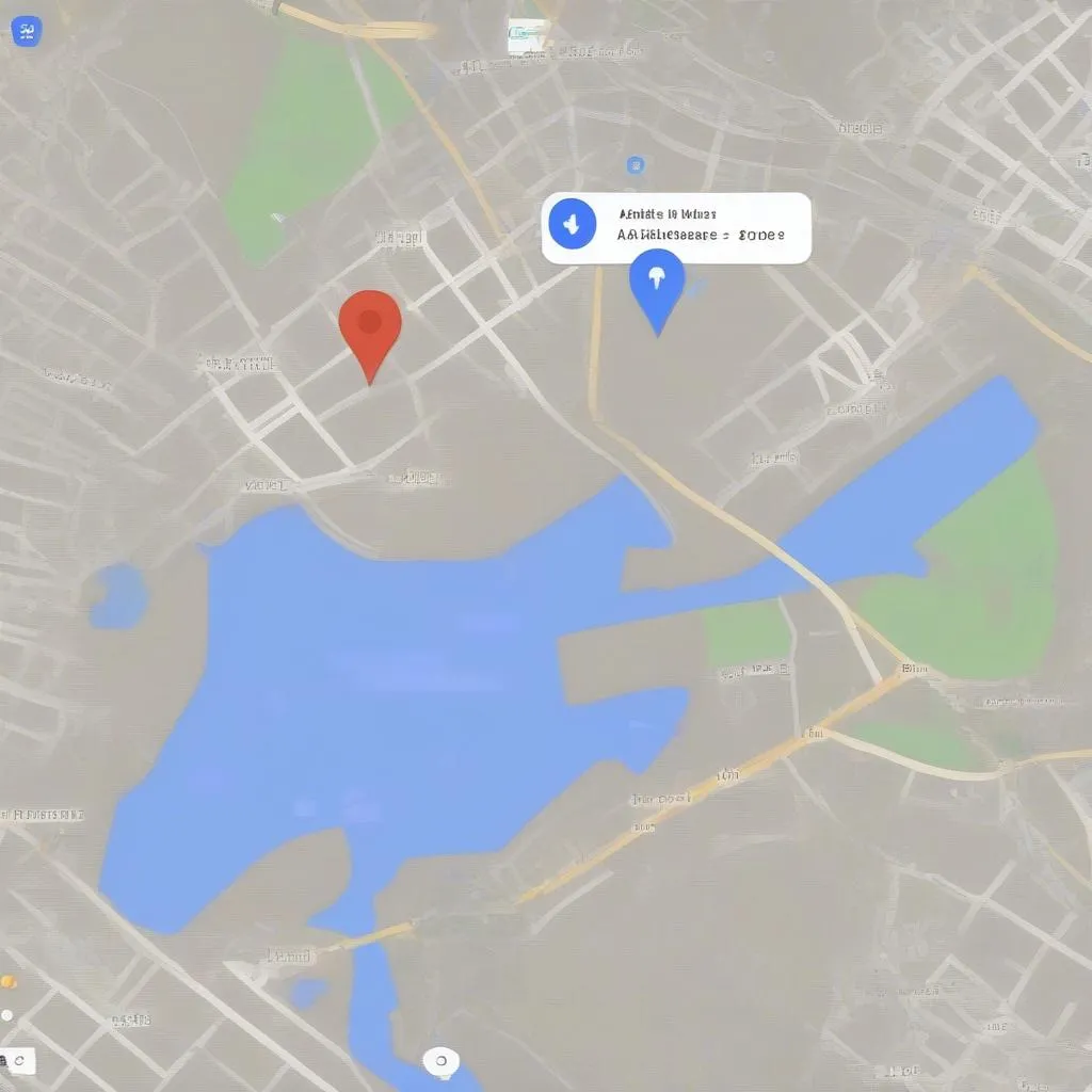 Google Maps Distance Feature
Conclusion
Google Maps is a valuable tool for anyone who loves to travel. The distance measurement feature can help you plan your trips, navigate unfamiliar cities, and make sure you’re not getting lost on the way.
Have you used Google Maps to measure distances? What are some of your favorite travel hacks? Share your thoughts in the comments below!